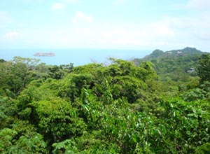
Geography of Costa Rica
Costa Rica is located in Central America between Nicaragua and Panama. On the west is the North Pacific Ocean and on the east is the Caribbean Sea. It is not an island, despite what you saw in Jurassic Park!
Its area consists of the following : . total: 51,100 sq km : (slightly smaller than West Virginia : land: 50,660 sq km water: 440 sq km note: includes Isla del Coco.
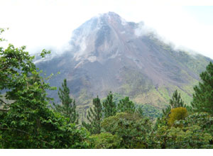
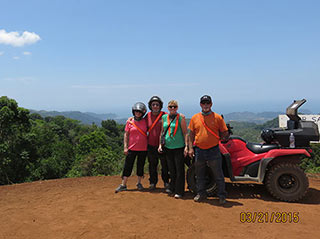
The country has coastal plains separated by rugged mountains including over 100 volcanic cones, of which several are major volcanoes.
Four volcanoes, two of them active, rise near the capital of San Jose in the center of the country. One of the volcanoes, Irazu, erupted destructively in 1963-65. They are fun to visit.
The lowest point is the : Pacific Ocean 0 m; the highest point: Cerro Chirripo 3,810 m. ( A meter is 1.8 feet ???)
Population was estimated at 4,133,884 in July 2007.